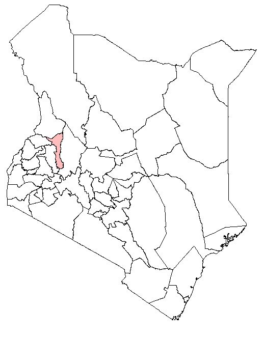
Elgeyo Marakwet County:Background Information
Elgeyo Marakwet County falls in the Rift Valley. The County lies between Latitude 0° 20' to 1° 30' to the North and Longitude 35° 0' to 35° 45' to the East. It covers an area of approximately 21,022 km² (Elgeyo Marakwet CIDP, 2018). It borders West Pokot County to the North, Baringo County to the East, Trans Nzoia County to the Northwest and Uasin Gishu County to the West. Iten is its capital. The County is divided into four sub-counties, namely: Keiyo North, Keiyo South, Marakwet West and Marakwet East. These are further subdivided into 20 wards with 74 Locations and 212 Sub-locations (Elgeyo Marakwet CIDP, 2018). According to the 2019 National Housing and Population Census, the population of the County was 454, 480 with 227, 317 male, 227,151 female and 12 intersex (KNBS, 2019).
The rainfall pattern in Elgeyo is bimodal. The long rains start in March to May while the short rains are from October to December. The average rainfall varies based on different regions in the county. The county has three distinct climatic zones namely the highlands to the west, the escarpment (hanging valley) and the lowlands (valley) to the East (Elgeyo Marakwet CIDP, 2018). Annual mean temperatures on the highland range from 18°C – 22°C while down in the valley, it ranges from 25°C – 28°C. The average annual rainfall in the county ranges from 700 mm in the semi-arid Kerio valley to 1700 mm in the Keiyo and Marakwet highlands (Elgeyo Marakwet CIDP, 2018).