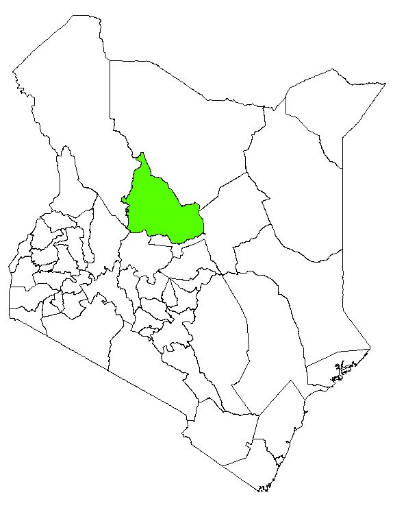
Samburu County:Background Information
Samburu County falls in the Rift Valley.It covers an area of approximately 21,022 km² (SCIDP, 2018).It borders Turkana to the North West, Baringo to the South West, Marsabit to the North East, Samburu West to the East and Laikipia to the Sorth. Its capital is Maralal. Other major towns include Baragoi, Archers Post, South Horr, Wamba and Kisima.
The county is divided into three constituencies, 3 administrative sub-counties namely Samburu East, Samburu North and Samburu West (SCIDP, 2018). The County has fifteen wards. According to SCIDP (2018), Samburu North has 6 wards (Angata, Baawa, El Barta, Nachola, Ndoto and Nyiro),Samburu West 5 wards (Lodokejek, Loosuk, Maralal, Marmar, Poro and Suguta) and Samburu East 4 wards (Wamba East, Wamba West, Wamba North and Waso). The County has a total of 108 villages (SCIDP, 2018).
Samburu County's long rains season is from March to May and the short rains season October to November. The average rainfall varies based on different regions in the County. Highlands like Mathews range and Ndoto mountains receive an average of 750mm and 1250mm of rainfall in a year. Other regions that consist of plains and plateau receive rainfall ranging from 250mm to 750mm a year (SCIDP, 2018).The temperatures range from lows of 24°C and highs of 33°C (SCIDP, 2018)
According to results of 2009 census, Samburu County had a total population of 223, 897, with 111, 920 females and 111, 977 males (KNBS, 2010). Population projections for the year 2014, indicate that the total population was 264,284 with 131,918 males and 132,366 females.